Tagis Web Map
Connect and Configure AR Geotags
Tagis Web Map Configuration Tool
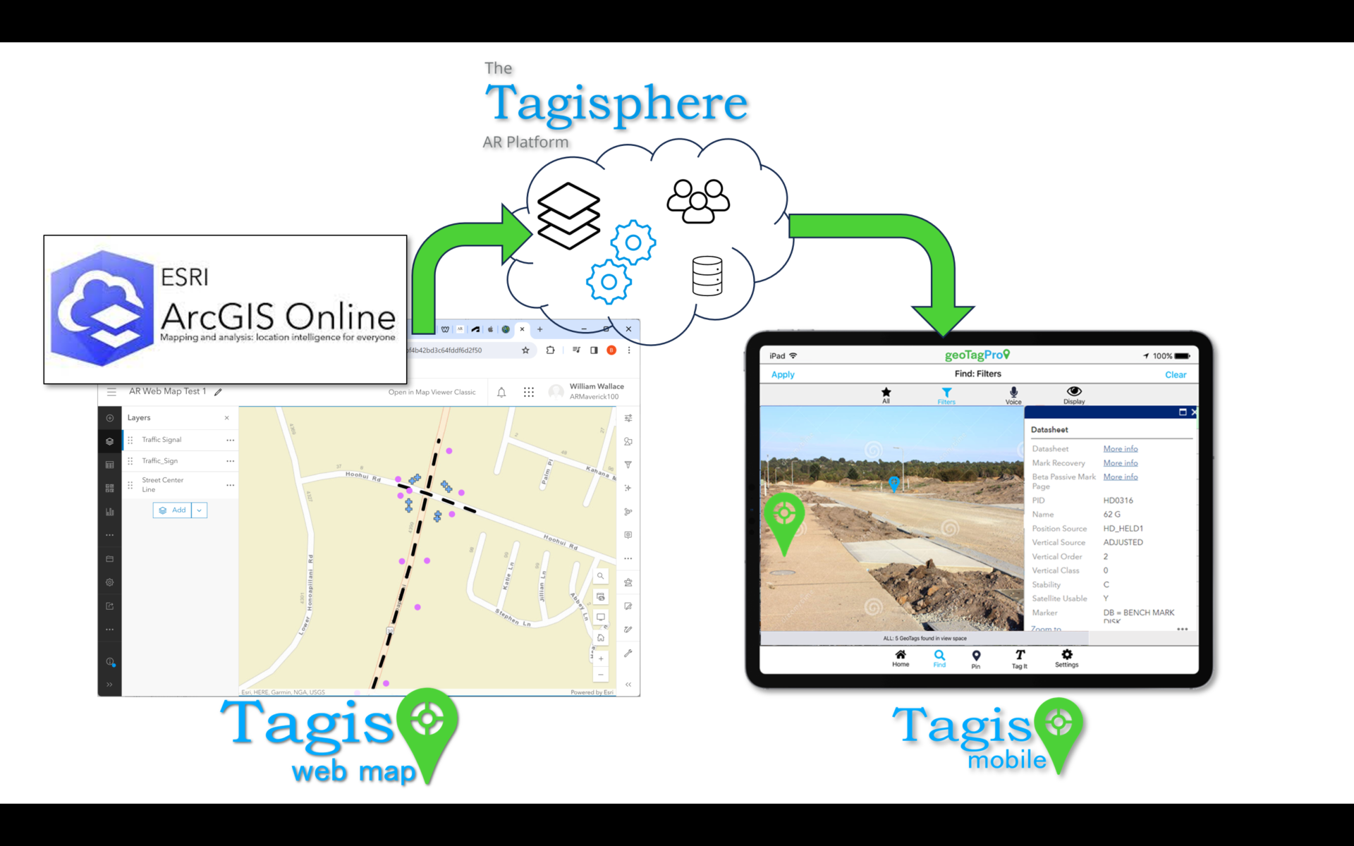
 Tagis Web Map projects offer a configuration tool that connects existing ArcGIS web maps to the Tagisphere, enabling a web map to serve as the data source for real-world AR geotags.
Connect a Web Map to the Tagisphere
ArcGIS users can connect any public Web Map to the Tagisphere. The Tagisphere AR Portal tools display all public Web Maps available in your account. You then select the map of interest and create a configuration of features you wish to transform into geolocated geotags in the real world
Your data remains in your Web Map data storage and is not duplicated elsewhere. When field users launch the Tagis Mobile app and request local data from a Web Map project, the portal backend uses your configuration to extract tags in real-time for the user. This keeps your map connection dynamic, always displaying the latest published data.
Configure a Connection to a Web Map:
![]() Easily Map Features Into AR Geotags
Easily Map Features Into AR Geotags
![]() A Simple Mapping of Data Fields
A Simple Mapping of Data Fields
![]() Web Map Serves as the Source of Truth
Web Map Serves as the Source of Truth
Feature Details:
- Label: A required value that is used to name the tag in the mobile app.
- Latitude / Longitude: No user intervention/mapping required. Lat/Long is automatically extracted from the map location of each feature.
- Link: An optional Hyperlink value for the tag.
- Category: An
optional value to help organize the tag. Categories are created/supported
as part of the project.
- Subcategory: Same as category.
- Your subscription level such as a Free subscription will only support 50 and one project, whereas a basic subscription will support 100 tag for its single project.
- For subscriptions supporting tens of thousands of tags, it is advisable to limit each project to 100,000 tags. To manage larger quantities, consider overlaying multiple projects within the same spatial area.

