Tagis Surveyor
Augmented Reality Tools for Surveyors
Tagis Surveyor Portal Publishing Tool
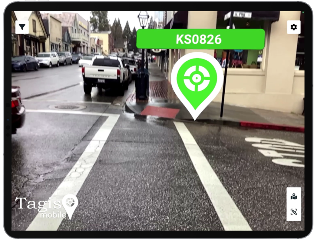
 Tagis Surveyor projects provide tools specifically designed to support surveyors’ workflows. Upload CSV files to instantly create tens, hundreds, or even thousands of tags. Tagis Surveyor projects also offer access to NGS benchmark data as AR tags displayed in real-world locations.
Upload CSV Files to Create AR Geotags
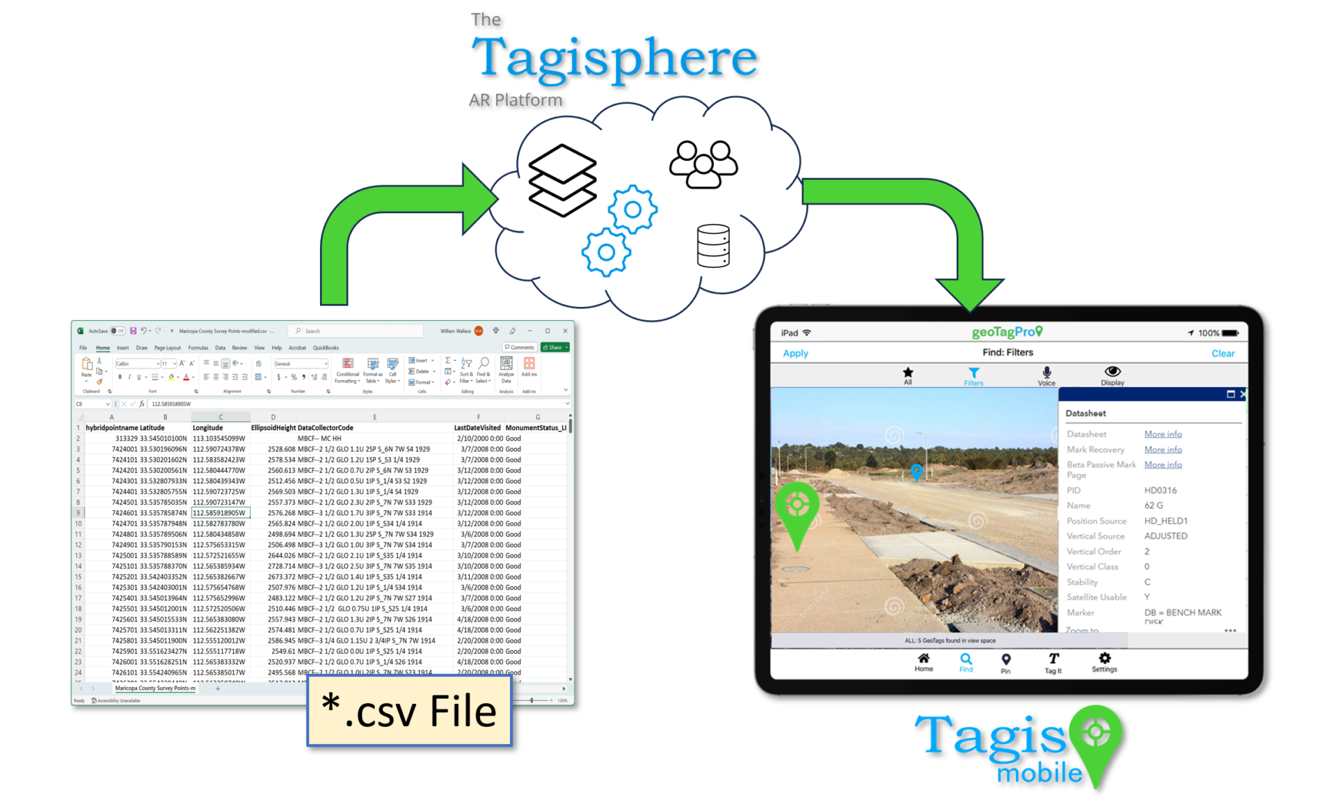
Surveyors are typically familiar with *.csv files—a common format for organizing survey points, feature codes, points of interest (POIs), and more.. The Tagis Surveyor project tools let you map your point data from a *.csv file into the Tagisphere. The point data can be in any world-based geolocated coordinate system.
Leverage Your Collected Point Data:
![]() Easily Upload Familiar *.csv Files
Easily Upload Familiar *.csv Files
![]() Map Point Attributes into the Tagisphere Schema
Map Point Attributes into the Tagisphere Schema
![]() Instantly Create Thousands of AR Tags
Instantly Create Thousands of AR Tags
Feature Details:
- Label*
- Latitude* (x)
- Longitude* (y)
- Link
- Description
- Category
- Subcategory
- EPSG
- Your subscription level such as a Free subscription will only support 50 and one project, whereas a basic subscription will support 100 tag for its single project.
- For subscriptions supporting tens of thousands of tags, it is advisable to limit each project to 100,000 tags. To manage larger quantities, consider overlaying multiple projects within the same spatial area.


