Tagis Mapper
Simple Online Map Interface to Publish Tags
Tagis Mapper AR Portal Tagging Tool
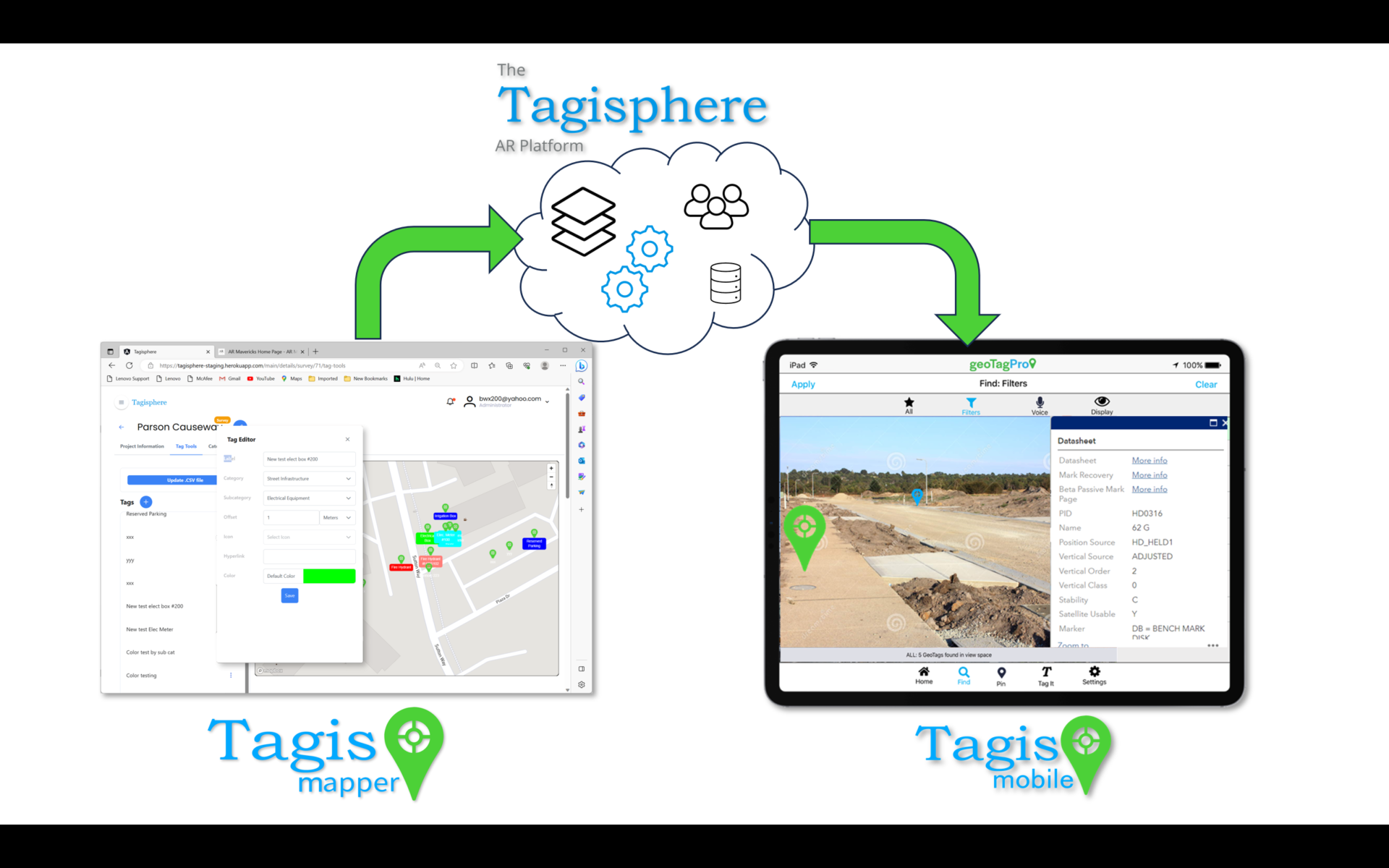
The Tagisphere AR Portal tools also provide a full set of tag, category and icon management tools in addition to the simple map-based tag placement tool.
Tagis Mapper Features
PORTAL APP: Tagis Mapper
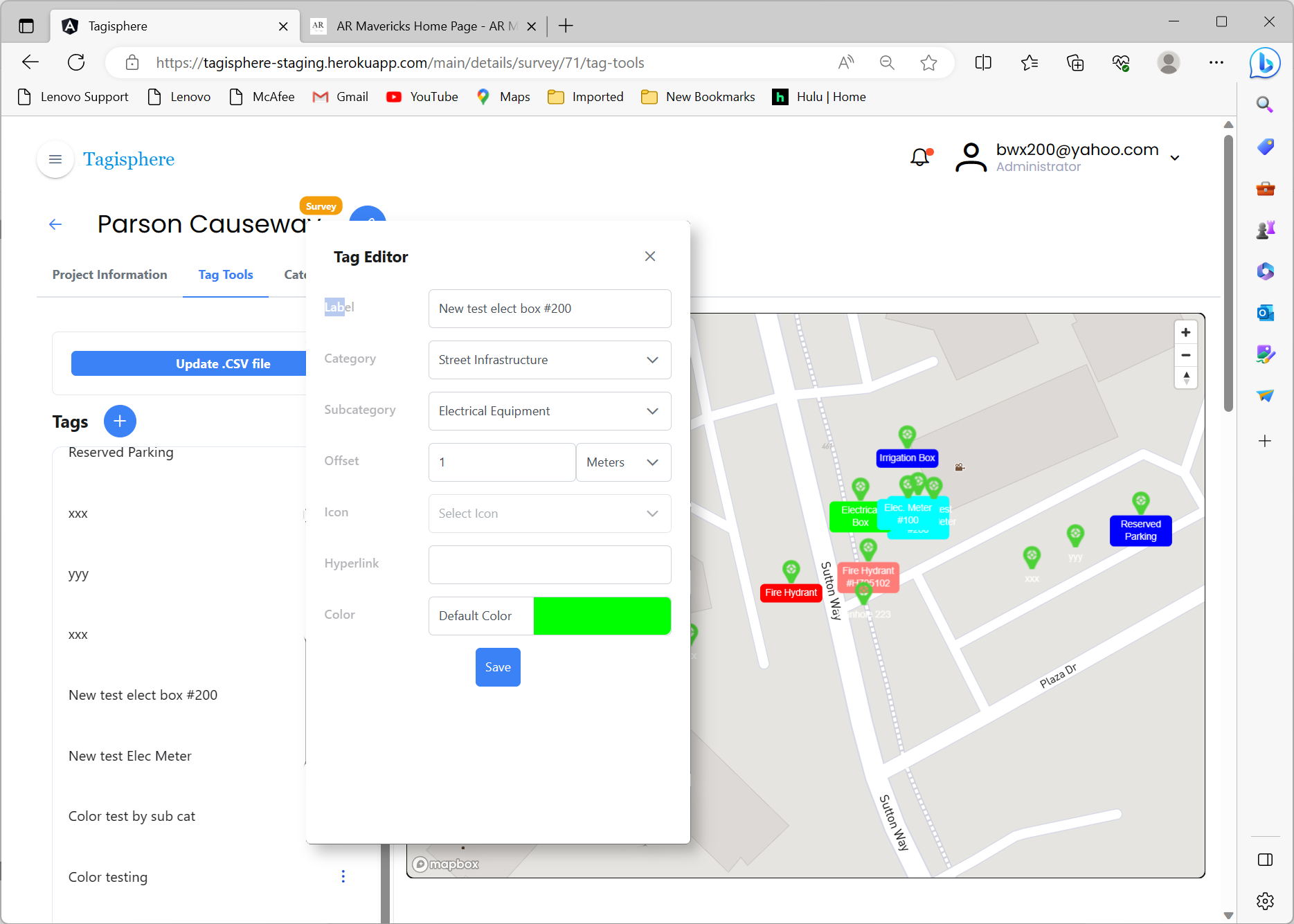
Tagis Mapper is a portal-based app that provides a map interface, allowing users to place tags at any location.
The basic functionality of Tagis Mapper is for users to place geotags by picking locations any where on the map. The map is truly global, so users can place tags anywhere in the world. Geotags in the Tagisphere appear as geolocated AR maps pins in the real world. They can contain a label and a hyperlink, so they can provide access to any cloud-based data or app.
The basic functionality of Tagis Mapper is for users to place geotags by picking locations any where on the map. The map is truly global, so users can place tags anywhere in the world. Geotags in the Tagisphere appear as geolocated AR maps pins in the real world. They can contain a label and a hyperlink, so they can provide access to any cloud-based data or app.
TAGS: Define/Manage/Edit
When creating tags, a user defines attributes for each tag. The attributes are categorized as required and optional. The same Mapper interface is used to edit, delete, or manage existing tags within the current project. The tag attributes managed with Tagis Mapper include:
.
- Label: A required value that names the tag in the mobile app.
- Latitude / Longitude: Automatically provided when selecting a location on the map.
- Link: An optional hyperlink associated with the tag.
- Category: An optional value to organize the tag. Categories are created and managed within the project.
- Subcategory: Functions similarly to Category.
TAGS: Stored in Tagisphere
Tags created using the Tagis Mapper portal app are stored in the Tagisphere cloud, accessible to field users via the Tagis Mobile app.
TAGS: Qty. of Tags
The Tagisphere AR Portal can accommodate a high volume of tags; however, it is recommended to limit each project to fewer than 100,000 tags for optimal performance. Depending on the subscription level, there may be restrictions on the total number of tags available within a project.
- Your subscription level such as a Free subscription will only support 50 and one project, whereas a basic subscription will support 100 tag for its single project.
- For subscriptions supporting tens of thousands of tags, it is advisable to limit each project to 100,000 tags. To manage larger quantities, consider overlaying multiple projects within the same spatial area.


