Tagis Tools
Familiar Tools for Every Workflow
Tagis Tools
Tagis Tools suite first includes Tagis Mobile, a mobile app for frontline workers. It also includes multiple solutions for authoring and publishing geolocated AR content, allowing your content editors to work in a way that aligns with their professional geolocation workflows, as detailed below.".

Tagis Mobile:
Tagis Mobile enables fieldworkers to access AR content across various project types. The app is available for both Apple and Android devices. Learn More

CAD Plugin:
An AutoCAD Civil3D add-on app that lets CAD users publish AR content directly to your cloud portal from their desktop CAD application. Learn More
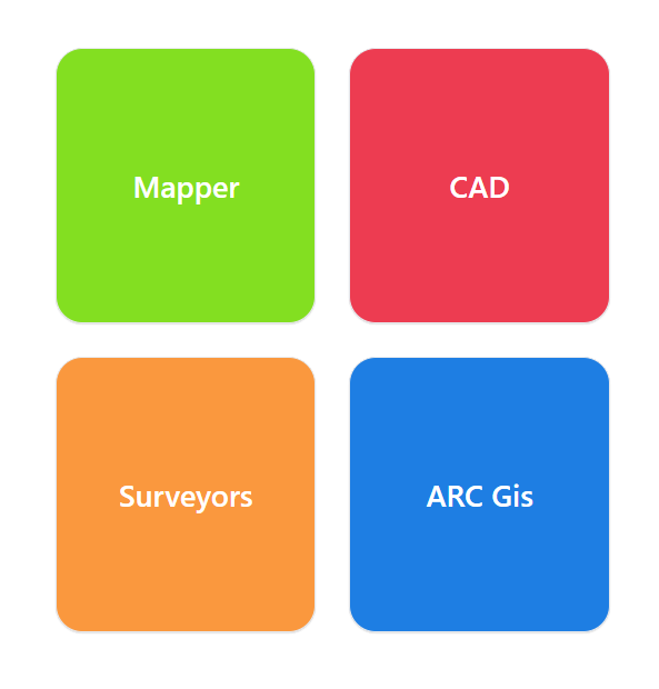
Web Map Configurator:
Available on the Tagisphere AR Portal, this web app enables GIS professionals to establish a real-time connection with an ArcGIS Web Map, allowing field users to access dynamic geotagged AR content. Learn More
Portal-Based Mapper:
Accessible via the Tagisphere AR Portal, this online map-based tool simplifies the process of selecting points and instantly publishing geotags in real-world locations. Learn More
Surveyors Toolbox:
The Surveyors Toolbox supports batch uploading *.csv and *.xls files to create geotags from feature coded data. It also provides access to National Geodetic Survey (NGS) benchmark locations as AR linked tags. Learn More
